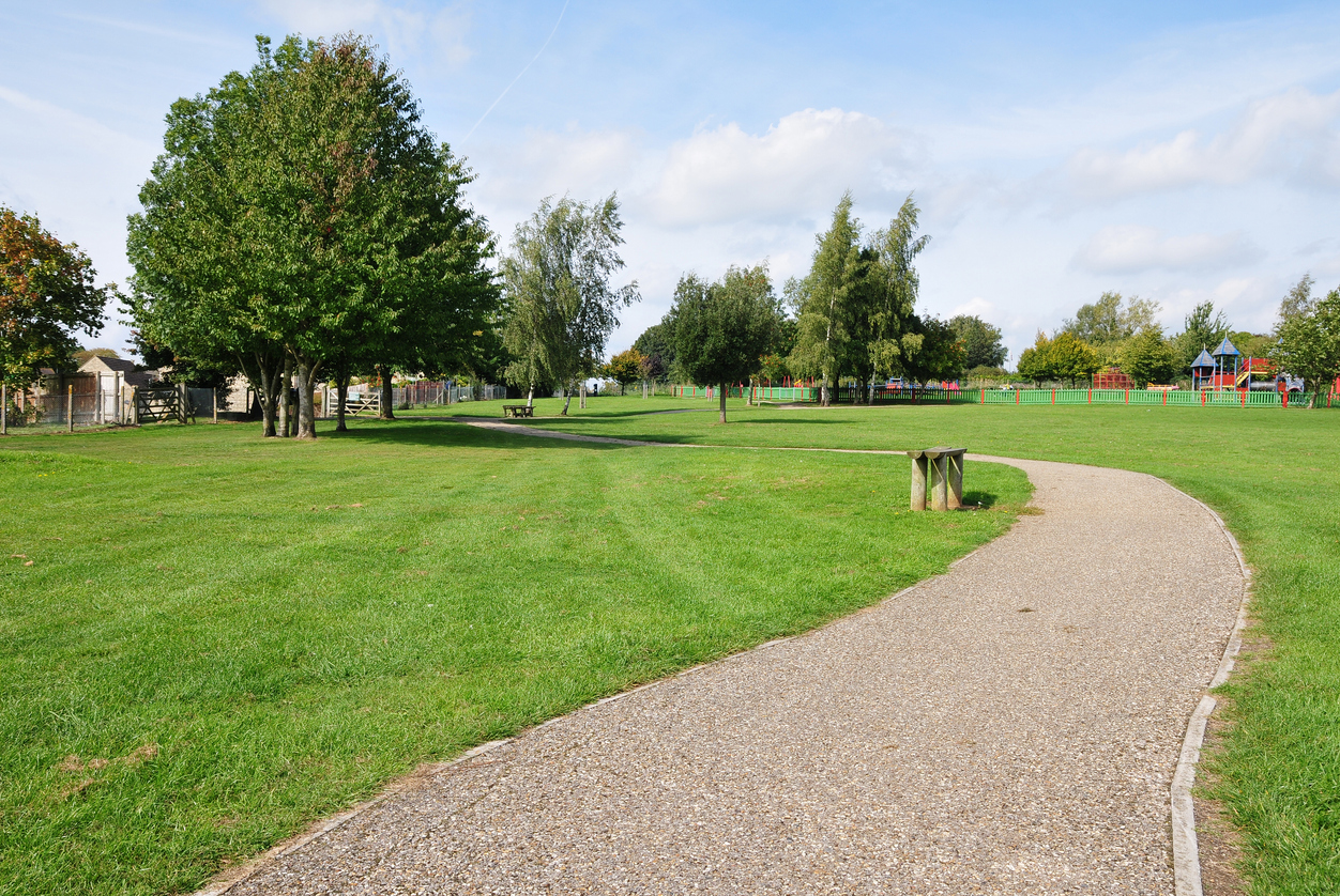
Ask a parks director what makes their asset management challenge different from, say, a facilities manager’s, and the answer usually comes down to geography. A building’s assets sit inside a footprint you can walk in a few minutes. A parks system’s assets (trails, athletic fields, playgrounds, park lighting, signage) are spread across dozens of sites that might cover hundreds of acres.
That’s exactly the kind of problem GIS (Geographic Information Systems) was built to solve. For parks and recreation departments, pairing asset management software with GIS isn’t an added feature. It’s what makes it possible to actually see a portfolio that a spreadsheet or a list view was never designed to represent.
Why Parks Departments Need Spatial Context
A list of assets tells you what you have. A map tells you where it is, what’s near it, and how it relates to everything around it. For parks assets in particular, that relationship is often the whole point.
A trail’s condition matters differently depending on its proximity to a wetland or floodplain. A cluster of aging playground equipment across three different park sites might point to a single purchasing decision made 20 years ago, which is useful to know when planning a coordinated replacement. Irrigation lines follow paths that only make sense in relation to the fields and gardens they serve. None of these relationships are visible in a spreadsheet row. They only become obvious when assets are plotted spatially, in relation to each other and to the landscape they sit in.
GIS integration connects every asset record to its physical location, so a parks department can see the spatial patterns that drive better maintenance and capital decisions, instead of discovering those patterns after a problem has already occurred.
Building a Spatial Asset Inventory
The starting point for GIS-based asset management is the same as for any asset management effort: a complete inventory. What GIS adds is a location attached to every record — not just a park name, but a precise point, line, or boundary on a map.
That distinction matters because parks assets don’t all behave the same way spatially. Point assets like light poles, benches, and playground structures exist at a single location. Linear assets like trails, fences, and irrigation lines extend across a path. Boundary or area assets like a park itself, a sports field, or a garden cover a defined space that contains other assets within it. A GIS-enabled inventory captures all three types accurately, rather than forcing everything into a single flat model that doesn’t reflect how the assets actually exist in the real world.
Once that inventory exists, a parks department can overlay other layers of information on top of it (soil type, drainage, tree canopy, utility lines) to understand dependencies that affect maintenance planning. Planning a trail resurfacing project becomes a very different conversation when you can see exactly which drainage issues or tree root systems are affecting that specific stretch.
Mapping Work Orders, Not Just Assets
The real day-to-day value of GIS shows up once work orders, service requests, and active projects are displayed on the same map as the assets themselves. Instead of a crew supervisor working through a list of open tickets with addresses that mean little without local knowledge, they can see every open work order plotted across the park system — spotting clusters of activity in one area, planning efficient routes between sites, and allocating crews based on actual geography rather than the order requests happened to come in.
For field crews, this is where mobile GIS tools matter most. A technician standing at a specific park bench, irrigation valve, or piece of playground equipment can open a map on a tablet, see exactly which asset they’re standing next to, pull up its maintenance history, and update its record or close out a work order on the spot — all without needing to know an asset ID or return to an office to file paperwork. In a portfolio spread across dozens of sites, that kind of in-field access is what keeps data accurate instead of becoming a end-of-week catch-up task.
Service Requests and the Citizen Connection
Parks and recreation departments field a steady stream of citizen reports — a downed tree limb, a broken swing, graffiti on a pavilion, a malfunctioning water fountain. GIS-based asset management ties these reports directly to the asset and location they concern, rather than treating them as disconnected complaints.
That connection has real planning value. A single report about a broken bench is a minor repair. Three reports about deteriorating conditions clustered in the same section of one park, mapped together, might indicate a systemic issue — aging infrastructure installed in the same year, drainage problems affecting a whole area, or a section of the park that needs a broader capital investment rather than a series of one-off fixes. Spatial visibility is what turns individually minor reports into a pattern a parks director can act on proactively.
Esri Integration: Working With the GIS You Already Have
Many parks and recreation departments already use Esri’s ArcGIS platform for broader municipal GIS needs, often maintained by a separate GIS or IT team. Rather than standing up a separate, disconnected mapping system, asset management software that integrates natively and bidirectionally with ArcGIS keeps asset data and GIS data in sync automatically — field updates made in the asset management system appear on the ArcGIS map, and edits made in ArcGIS are reflected back in the asset records.
That bidirectional sync eliminates a problem that plagues departments running separate systems: two versions of the truth, with someone manually reconciling data between a maintenance database and a mapping platform. For a parks department that already has GIS expertise and infrastructure in place through a citywide GIS team, tying into that existing investment is far more practical than building spatial capability from scratch inside a standalone maintenance tool.
Capital Planning With a Map View
At the planning level, spatial data changes what capital planning conversations look like. Rather than requesting a lump sum for “park improvements,” a parks director working from GIS-integrated asset data can point to a specific map view — this section of trail, these three playgrounds, this cluster of aging fixtures — and back the request with condition data, age, and maintenance history for each asset shown.
This is particularly useful when parks projects intersect with other municipal infrastructure. A trail resurfacing project that runs alongside a road being repaved, or a park irrigation upgrade that coincides with a nearby water main replacement, becomes visible as an opportunity for coordinated capital planning — the kind of overlap that’s easy to miss when parks, public works, and utilities each manage their own assets in separate systems with no shared spatial view.
Getting Started With GIS-Based Parks Management
Departments that haven’t yet connected their asset management to GIS don’t need to map every bench and sign before seeing value. A practical starting point is mapping the highest-priority assets — playgrounds, athletic fields, major structures, and trails — and layering in lower-priority assets over time as the spatial inventory matures. For departments that already have access to a citywide GIS platform through Esri, the fastest path is usually connecting asset management directly to that existing system rather than building a parallel one.
The parks departments that get the most value from GIS-based asset management aren’t necessarily the ones with the most sophisticated maps — they’re the ones that use spatial context to make everyday decisions: where to send a crew next, which cluster of assets needs coordinated attention, and which capital request has the data to back it up.
AssetWorks EAM integrates natively with Esri ArcGIS, giving parks and recreation departments a single, spatially aware view of every trail, field, playground, and facility they manage — alongside the mobile tools crews need to update that data from wherever they’re working. To learn more, visit assetworks.com/eam.