- Home
- Solutions
- Parks & Recreation Software
- Facilities Software
- Asset Management
- Mobile App
- Capital Planning
- Inventory Management
- Work Orders
- Service Requests
- Fleet Management
- GIS & Esri Integration
- Asset Performance Assessment
- Reporting & Analytics
Asset Management
MenuMaintenance Management
MenuData Management & Mapping
Menu - Industries
- Resources
- About Us
GIS asset management software
Modernize your mapping
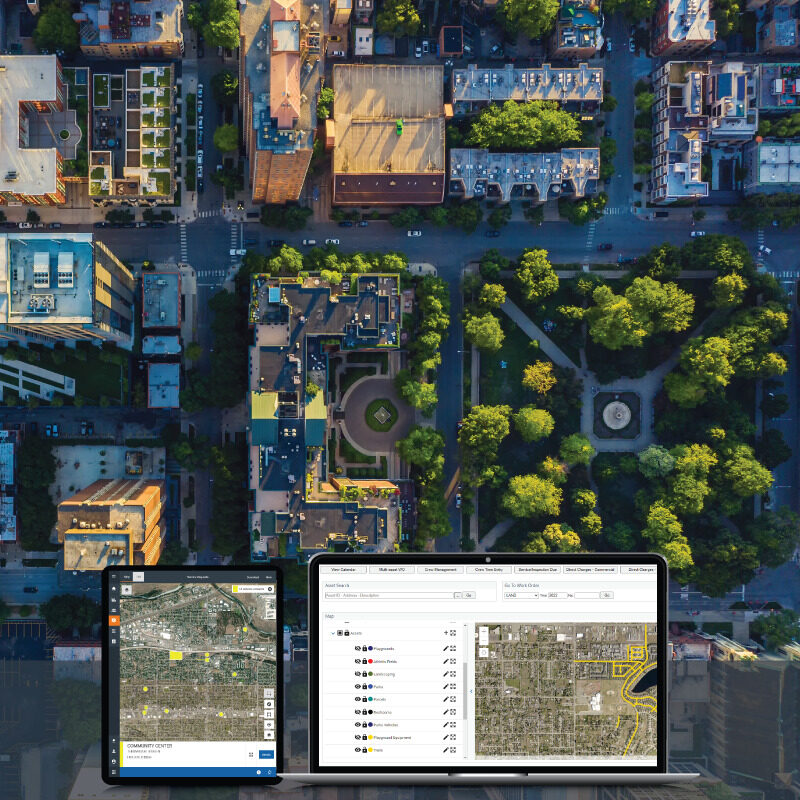
Make your data come to life through powerful GIS mapping functionality.

Answering the “Where?”, the “Why?”, and the “How?”
As an Esri partner, AssetWorks EAM offers out-of-the-box integration, which automatically synchronizes in near real-time through bi-directional connection, so you can trust that your GIS and asset management data are working for you.

Benefit from a true partnership
You don’t just need GIS and an asset management system. You need them to work together. The Esri GIS integration built-in to the AssetWorks EAM system empowers cities, counties, states and public works organizations to view, manage, and action necessary items seamlessly.
Create powerful map layers
A major benefit of GIS is map layers. In EAM, users can work directly from the base maps of their choice and create map layers using asset attribute data, service requests, work orders, and projects.


Increase transparency with your community
It’s more important than ever to engage with your citizens. Our GIS capabilities increase transparency by publishing data through service requests, work orders, and capital projects—so everyone stays on the same page.
Ready to See More?
Schedule a demo to learn how GIS Asset Management Software can simplify and improve operations.

Manage your assets (all of them)
Whether your assets are point, linear, or boundary-based, AssetWorks EAM helps you manage their entire lifecycle, including maintenance schedules, inspections, and location.

Make data-backed predictions
With our Asset Performance Assessment, you can see into the future of your assets and make smart decisions based on maintenance and performance through easy-to-understand condition scores.
White Paper
5 Best Practices for Utilizing GIS Data
In this white paper, you’ll review the best practices for utilizing GIS effectively to maximize its impact on your long-term asset management goals, including the positive impact an integrated EAM system can have organization-wide.
Want to learn more about GIS asset management software?
EAM / Geographic Information System (GIS)
QUICK LINKS
WHAT WE DO
QUICK LINKS
SOCIAL LINKS
Copyright 2024 AssetWorks, Inc. | All Rights Reserved.
