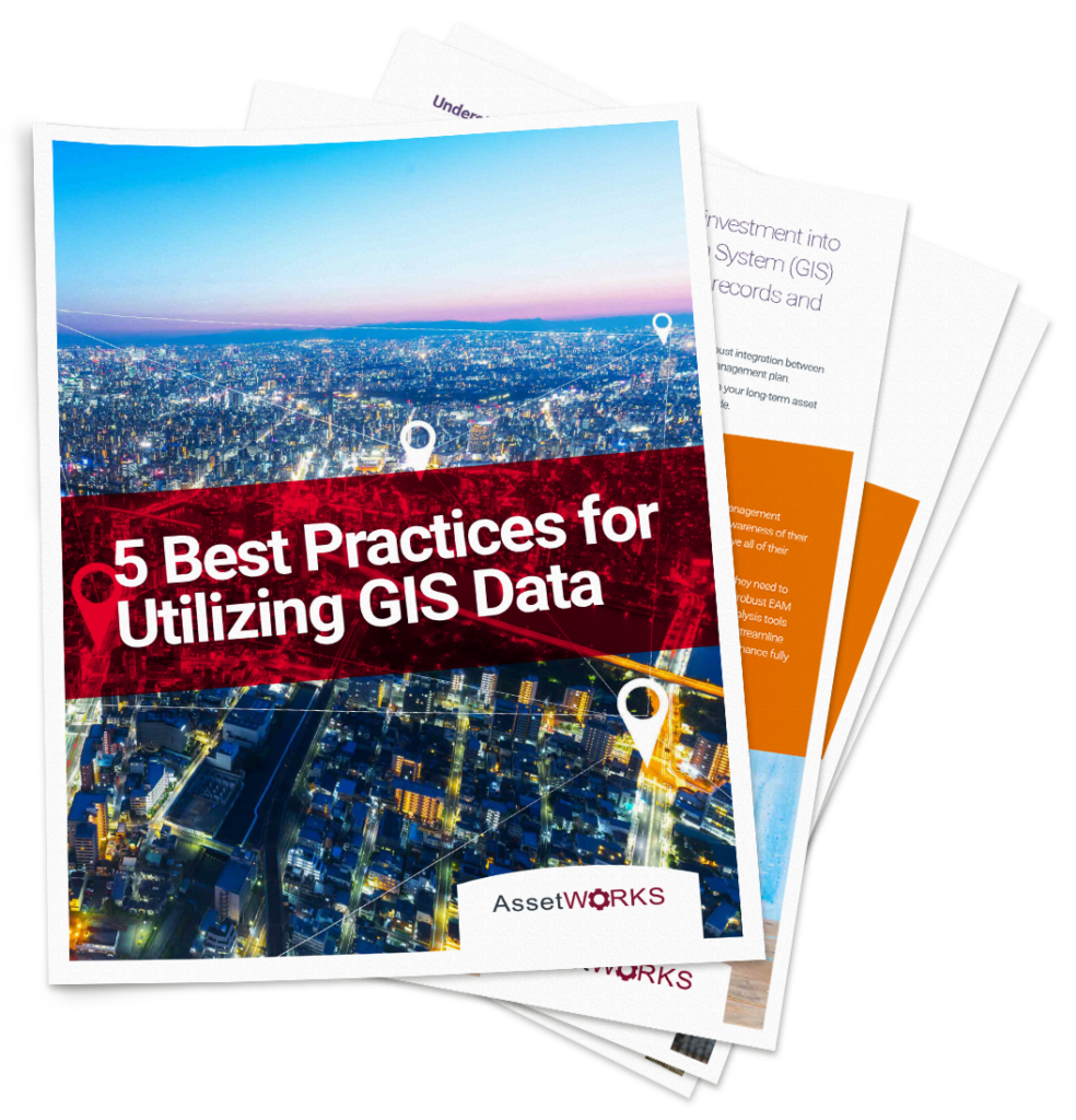
Whether your organization has utilities, parks and recreation, roads, bridges, signals or facilities, a robust integration between enterprise asset management (EAM) systems and GIS is integral to a long-term, successful asset management plan. In this white paper, you’ll review the best practices for utilizing GIS effectively to maximize its impact on your long-term asset management goals, including the positive impact an integrated EAM system can have organization-wide.
Table of Contents
- Understanding how GIS and EAM work together
- Implementing mobile workflows
- Receiving timely data when you need it
- Utilizing reporting and data transparency, and
- How to reduce costs and extend the useful life of your assets
Get a sneak peek
Maintenance workers in the field are often an untapped resource for information on infrastructure assets. With EAM’s Esri Integration, the visual, map-based views help to link spatial information with asset management information so you can rest assured that your data is accurate and up-to-date. Want more information? Check out our Partners.


