
If werewolves were real, then silver bullets might be a thing. But until that happens be wary when somebody comes along claiming to have a one-size-fits-all solution. A mature and sensible enterprise asset management system gives you options to address challenges in diverse ways; and having options gives your organization the power to take appropriate actions.
Ever heard that phrase, “the whole is more than the sum of its parts?” That is what happens when combining components adds more collective value.
Read below to learn about one of these collective parts: the GIS and LRS!
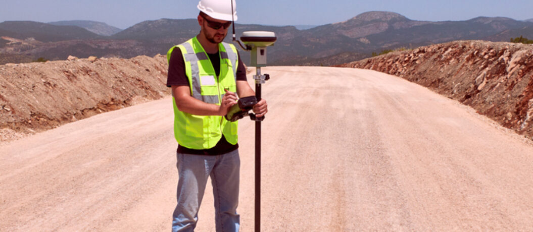
Maybe your organization has this problem: “We maintain linear assets like pipeline or pavement that are widely geographically distributed. How do we find these assets, know their condition, and estimate the cost to maintain and repair them?”
Solution: GIS + LRS (Geographic Information System + Linear Reference System) for a Linear Asset
Why GIS?
GIS gives you the ability to plot assets and work and other information on a map. The coordinates stored in the geodatabase used by the GIS can be used to draw the object in 2 or 3 dimensions. This is incredibly useful for providing context: you can view the data on a map relative to other data, such as other assets, or even different base maps such as topographic maps, road maps or satellite imagery. You get all the benefits of the map environment, including the ability to pan and zoom and often filter the map or even drill down into features on the map to get more information.
However, with GIS coordinates, the data is only as precise and accurate as the data collection methods, and GPS devices are prone to calibration problems (though they have been steadily getting better over time, especially with the ability to improve satellite detection by combining it with other location methods). The trade-off with GIS is that for non-point assets (that is, polygons and linear assets), a higher quality of data comes at the cost of more storage. That is: to get a more accurate representation of the shape, more coordinates are required. (Think of making a circle on the ground with a handful of pebbles versus fist-sized stones. The fine-grained circle made of pebbles will be smoother than the coarse-grained circle made of stones due to its higher density.)
Why LRS?
Using a linear reference system enables storing the most accurate representation of an asset’s straight-line dimensions because it is purely numeric and does not suffer from the same “granularity” problem as data represented in GIS. Unlike in GIS, the length of the linear asset is literally stored in a column in the database where it can be queried and used in arithmetic. To get the cost of rebuilding a linear asset, given the cost in feet, it is a simple calculation of length in feet multiplied by cost in feet.
This numeric, offset-based representation is also useful for identifying other information relative to points (or ranges) along the asset, including other assets such as guardrails along the side of a road, attributes such as the speed limit or jurisdiction along a road (which may differ in value along portions of the asset; i.e. dynamic segmentation), and even for specifying work relative to the asset.
If a family going on summer vacation wants to report the pothole they spotted half a mile between mile markers 333 and 334, it is much quicker and easier to say that over the phone than to rely on GPS. For example, the vehicle may have already driven well past the point where a smartphone app could use GPS to report the pothole – it may be reported miles away from the actual location, resulting in wasted time for the road crews. Instead, a simple phone call to communicate, “pothole half a mile east of marker 333” is all that is needed. And that same exact direction could be given to the crew who fixes the problem. And after the problem is fixed, that is exactly how it gets recorded on the work order: as a repair that is performed +0.5 miles from mile marker 333.